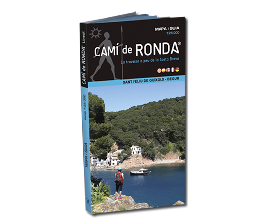
Map of Camí de Ronda® Lineal (E/1:25.000) with a 72 pages book guide that includes the description of stages and a selection of the 10 best beaches and coves of Camí de Ronda® at the Costa Brava, indicating the geographic coordinates, the access and orientation description to optimize the amount of sun hours. ISBN - 9788412190229 by GeoNomada Editions (Vierte Ausgabe - 2024/2027)

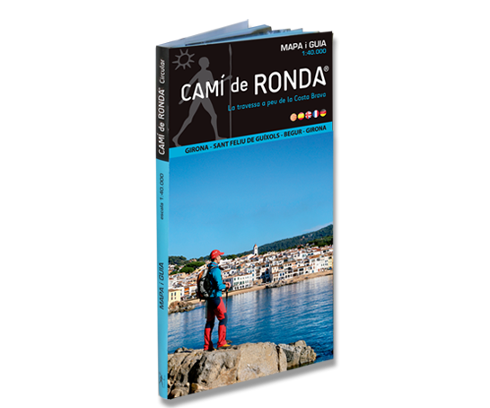
Map of Camí de Ronda® circular (E/1:40.000) that includes massís de les Gavarres and l’Ardenya (from Girona to Sant Feliu de Guíxols and Begur). It comes with a full colour 110 page guidebook with description of the stages of the track, tips and history of Camí de Ronda® ISBN – 9788412190236 by GeoNomada Editions (Vierte Ausgabe - 2024/2027)

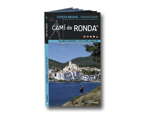
Karte der ursprünglichen Route des Camino de Ronda ® an der Costa Brava von Blanes nach Portbou. Es umfasst auch die Strecke Französisch-Kataloniens von Cervera nach Cotlliure und Argelès (Sentier Littoral) und die Route des "Mittelmeerweges- Sendero del Mediterraneo GR92" (E / 1: 100.000). Besonderes Detail der Etappen des Camino de Ronda ® (19 + 3 Etappen, 240 km + 43,5 km) und der GR92-Etappen (12 Etappen, 213 km). Es umfasst das Netz von Wanderwegen an der Costa Brava: itinerannia, GR, PR und lokale Routen der Regionen La Selva, Gironès, l'Alt Empordà und Baix Empordà. Der GR11-Pfad der Pyrenäen und der GR1. Grafikabschnitt mit den 10 besten Stränden und Buchten, illustriert mit Fotos und einem QR-Code, der den Ort und den Weg zu den Buchten angibt. ISBN 978-84-121902-1-2 Editorial GeoNomada (1. Auflage - 2020/2021) Ein Detail dieser Karte können Sie in einem Video sehen, das diesem Link folgt Cami de Ronda ® karte Blanes nacht Portbou + Cotlliure and Argelers